

Find out the latest news about esri BeLux. As the official distributor of Esri for Belgium and the Grand Duchy of Luxembourg we offer the most powerfull mapping and spatial analytics software. Here we share our GIS news with you. Updates from software, new GIS customers, new GIS specialists, created storymaps with customers, specific customer cases. Esri BeLux has a broad experience in GIS implementation, as well in public as in private organisations and we want to share our knowledge and news about our GIS solutions with you.
Discover our GIS news

How GIS Transforms the Management of School Assets
A New Map for Education In the world of educational heritage management, a quiet revolution is underway, one that fundamentally changes the way [...]

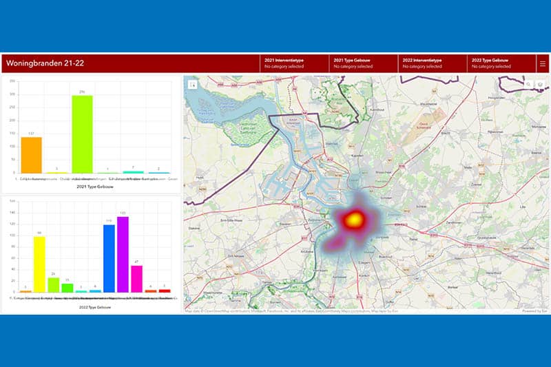
Efficient GIS Solutions for effective emergency response
Discover the GIS possibilities The Hainaut Centre Emergency Response Zone is a supra-municipal structure covering 28 highly populated municipalities - with a total [...]

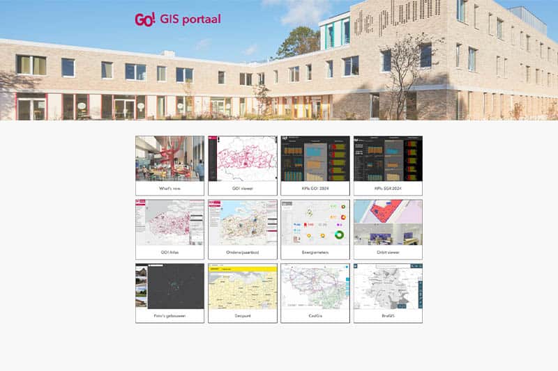
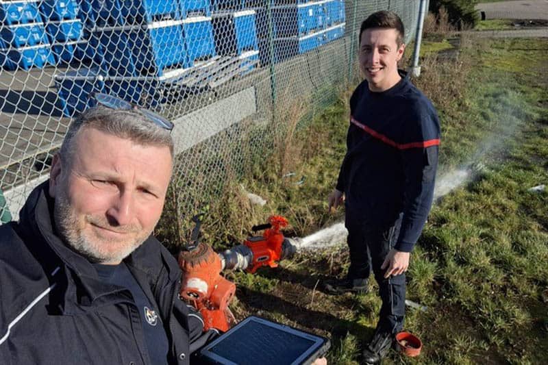
Fire brigade zone Antwerp: Innovation in Action
Discover the GIS innovation It is an exciting time for Brandweer Zone Antwerpen (BZA) as they gear up to embrace their digital revolution. [...]

INFRABEL: TWO ADVANCED GIS SOLUTIONS
Discover the GIS solutions developed by Infrabel using Esri products Infrabel, responsible for the railway infrastructure in Belgium, has recently implemented two advanced [...]

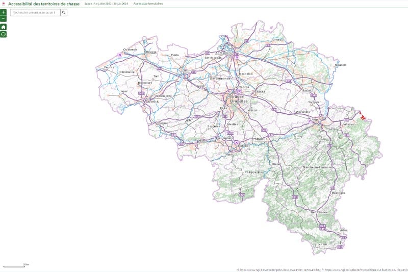
ChasseOnWeb
A USER-FRIENDLY PLATFORM FOR SHARED FOREST USE ChasseOnWeb.be is a webpage featuring an interactive map that, by date, displays the hunting areas that [...]

Mapping Poverty
Innovative StoryMaps for Local Policy Making In an ever-changing society, it is crucial that policymakers and organizations have the right information to develop [...]

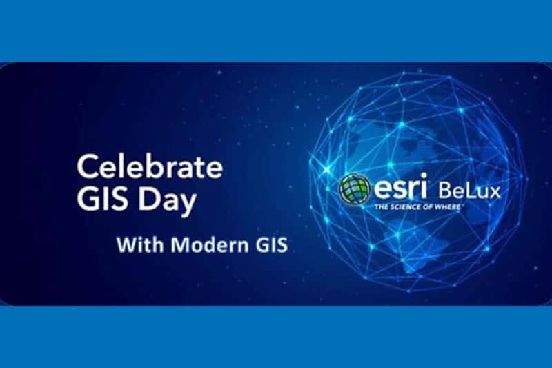
Celebrate GIS Day with Modern GIS – webinar
Modern GIS - From desktop GIS to Web GIS Geographic information system (GIS) technology has changed a lot over its 50-year history, yet [...]

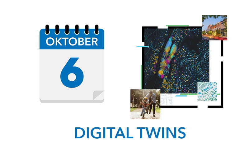
Digital Twins for every City and Municipality
THIS EVENT IS IN DUTCH Of het nu gaat om het bestrijden van criminaliteit, het vullen van gaten in de weg of het zorgen [...]

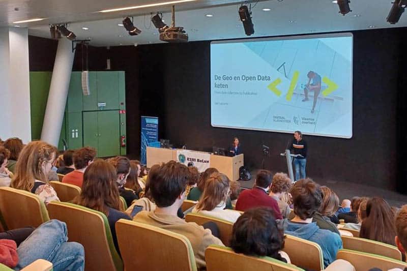
Looking back on Student Day 2023
A true journey of discovery On 22 March, Esri Belux organized a STUDENT DAY in collaboration with Digitaal Vlaanderen. This event took place in the VAC [...]

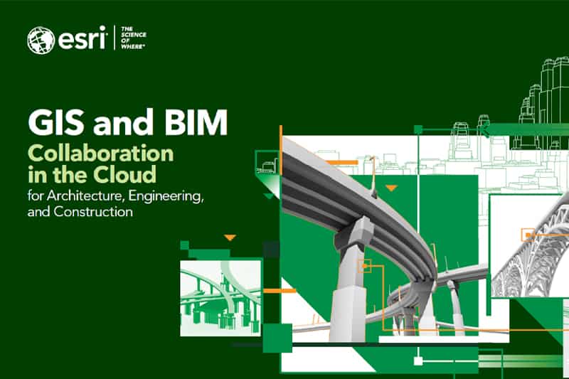
New White Paper – GIS and BIM in the Cloud
GIS & BIM in the Cloud - New White Paper A new 35-page eBook featuring AEC clients Arcadis, HNTB, and VolkerWessels Infrastructure has been [...]

ArcGIS now hosts Road LiDAR data
November 28,2022 - Press release When combining ArcGIS, the world’s most powerful mapping spatial analytics software from Esri, and the digital data from XenomatiX’ [...]

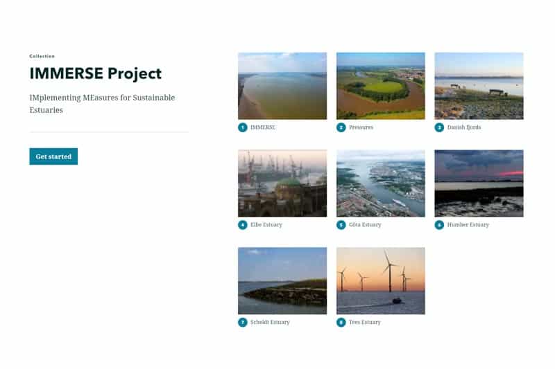
IMMERSE project Interreg North Sea Region
Discover the project North Sea Region estuaries are dynamic environments subject to persistent and increasing pressures, such as modified tidal ranges, increased flooding, [...]